Land measurement bias revisited
Descriptive differences between self-reported and GPS-based land area measurement exist in all countries
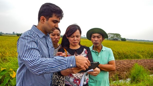
Our paper looks at three land area validation techniques—farmer self-reporting, GPS measures, and Google Earth-derived estimates—and provides insight into their relative performance vis-à-vis costs. The methods implemented are depicted pictorially in the linked diagrams and described in more detail in the paper.
We then look at how measurement error in land size affects the relationship between agricultural productivity (measured in terms of yield) and land size. Finally, we provide evidence on cost savings using Google Earth relative to GPS-based area measurement. Below are our key findings.
First, descriptive differences between self-reported and GPS-based land area measurement exist in all countries, although varying in magnitude.
The differences are more pronounced in Lao PDR (285.5 percent), Thailand (49.0 percent) and the Philippines (7.7 percent), relative to Viet Nam (1.7 percent). More interestingly, the differences are non-linear across the land size distribution (indicated by quartiles of land size in the linked chart), but not uniformly non-linear in the direction of the reporting bias.
For example, in Lao PDR and Thailand, self-reported land size diverges significantly from GPS-derived estimates in the lowest two quartiles. However, farmers in the Philippines and Viet Nam tend to underestimate land size for the highest quartile of landholdings.
Second, there is a long-standing debate in development economics on what kinds of farmers are more productive – those with larger or smaller agricultural plots.
The literature has often found a puzzling negative relationship, indicating that farmers with smaller plots are more productive than larger plots. If this were true, in freely functioning markets larger agricultural plots would be segmented into smaller plots to achieve gains in efficiency.
However, the real-world evidence does not necessarily point toward this phenomenon, unless government policy has encouraged land redistribution, often for reasons of equity. Several explanations have been postulated for the existence of this inverse relationship, summarized neatly in a paper by Leah Bevis.
In our paper, we test if this inverse relationship is caused by the measurement error in land size, and whether correcting for this measurement error alters the sign of this relationship.
Our results show that measurement error related to land size reporting does not overturn the direction of the theoretical relationship, but biases due to self-reported measurements do vary, particularly in the largest quartile of the land distribution across countries.
This is an important finding, since measuring either the magnitude or the type of the bias in land reporting methods does not always imply a bias in agricultural relationships estimated.
Last but not least, Google Earth not only performs just as well as GPS (considered the gold standard) when it comes to measuring land size but also reduces the average cost of the activity by nearly 38 percent.
This result is quite useful (and welcome!) because GPS-derived land size measurement involves circumscribing the boundaries of a plot on foot by an enumerator that can be time-consuming, costly, and hazardous. The Google Earth method, on the other hand, only requires mapping the boundaries of plots onto a high-resolution Google Earth image embedded within a handheld device, eliminating the need to traverse through plot boundaries.
What does this mean for those interested in agricultural policy and/or field survey methods?
Target 2.3 of the Sustainable Development Goals aims to double the agricultural productivity and incomes of small-scale food producers by 2030. The UN Food and Agriculture Organization is planning to define small-scale food producers using two criteria: physical size and economic value.
Our study shows that the first criteria (and by default, the second as well) may be subject to significant measurement errors in developing countries with weak statistical systems that rely on non-standard land area measurement techniques. This, in turn, would lead to inaccurate policies for the agricultural sector.
To address this issue, special guidelines should be developed by the UN Statistical Division for collecting and verifying agricultural land size information in developing countries. The international statistics community must also emphasize the need for strategic investments in digitized agricultural cadastral maps in developing countries, which can be accomplished by training agricultural statisticians working in government agencies.
Survey data collection and management platforms such as Survey Solutions are already doing some pioneering work on this by integrating land area measurement applications within their software.
As high-resolution remotely-sensed data becomes publicly available, it may become a less expensive alternative to link to survey data that rely on GPS measurement. Such efforts need to be scaled up, and if possible, linked to agricultural census planning activities.
- FIRST PUBLISHED IN:
- ADB


