

Karnataka Revenue department set to use drones to resurvey land
- Country:
- India
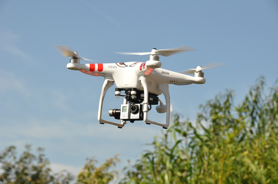
Drones or unmanned aerial vehicles will now be used by the Karnataka Revenue department to resurvey land and properties in the state. The department Thursday said it has signed an MoU with Survey of India for this purpose.
Officials said the MoU is part of state government's vision to give farmers and citizens of Karnataka the perfect land records in a time-bound manner, using technology. Drone or UAV based survey is objective and not only removes human errors but also eliminates human mischief in drawing boundary lines of land and properties, according to an official release.
The technology was tested on a pilot basis at Jayanagar 4th Block in Bengaluru City and Ramanagar (where both rural and town was surveyed) using drones or UAVs, which was "successful." Officials said, to begin with, the Drone or UAV survey will start in Tumakuru, Hassan, Uttara Kannada, Belgavi, Ramnagar and Bengaluru City in the first phase. The resurvey is expected to be completed in about two years.
The districts of Vijayapura, Kodagu, Dharwad, Dakshina Kannada, Mysuru, Gadag, Davanagere and Kalaburagi would be taken up for the survey in the second phase. Benefits of drone or aerial survey include digitised, geo-referenced, accurate besides the up-to-date map of each property being generated in one-tenth of the time.
It not only takes lesser time but also costs lesser than the traditional manual one According to the release, the actual accuracy would be better than manual survey if one takes into account the human bias and errors in manual surveys.


 Google News