Kashmir: Met forecasts heavy snowfall for at least five days starting Saturday
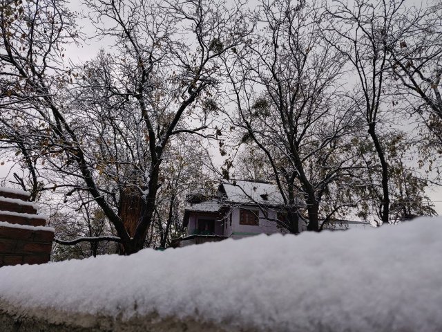
The Met on Wednesday forecast heavy snowfall for at least five days starting Saturday that is likely to disrupt air and surface traffic to and from the Kashmir Valley. "A comparatively intense western disturbance is becoming active over Jammu and Kashmir from January 19 and will remain till January 23, peaking on January 22. "Under its influence moderate to heavy snowfall is likely to occur in the valley during this period," Sonum Lotus, Director of the Met Department said, even as a fresh spell of snow fell in the region.
He advised people to keep warm, wear snow-worthy footwear, keep edibles and other things handy as the spell was expected to disrupt normal life. The sky was already overcast in the valley with Srinagar recording minus 2.1 degrees Celsius, Pahalgam minus 4.2 and Gulmarg minus 6. An overnight cloud cover has improved the overall minimum temperatures. Drass town in the Ladakh region recorded minus 16.2 as the minimum temperature. On Tuesday's its maximum was minus 8.2 degrees Celsius. Jammu city recorded 6.2, Katra 7, Batote 3.1, Bannihal 1.6 and Bhaderwah 0.6 degrees Celsius.
(With inputs from agencies.)
- READ MORE ON:
- met
- sonum lotus
- kashmir valley.
- jammu
- footwear
- valley
- sky
- people
- region.
- met department
- region
- town
- city
- drass
- ladakh
ALSO READ
Blasts heard in Ukraine's Kharkiv, Zaporizhzhia region
"43 ghost towns...": Israeli researcher om present situation in Pakistan amid war with Hamas
Russia launches 'counter-terrorist operation' in southern region, RIA reports
ADB upgrades India's GDP growth forecast for FY25 to 7%, solidifying its position as a key growth engine in APAC region
Myanmar troops retreat as rebels declare control over key border town


