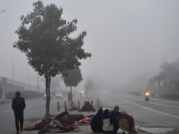
Weather service warns of cold temperatures
“An intense low-pressure system, known as a cut-off low, is forecasted to bring widespread showers and thundershowers to many parts of the country from Saturday until Tuesday,” SAWS said.
- Country:
- South Africa
The South African Weather Service (SAWS) has warned of cold temperatures, widespread rainfall, and possible flooding over parts of South Africa.
“An intense low-pressure system, known as a cut-off low, is forecasted to bring widespread showers and thundershowers to many parts of the country from Saturday until Tuesday,” SAWS said.
An intense cut-off low developed along the west coast of the country from Saturday afternoon. It was then projected to move over the Northern Cape on Sunday.
“.....reach the interior of the Western Cape on Monday, and exit along the southern coast of the Western Cape on Tuesday (9 April). Widespread showers and thundershowers are expected to develop over much of the country… and will continue until at least Tuesday where after calm and clear weather conditions will return to many areas.
“Persistent showers and thundershowers may lead to flooding over the central and eastern parts of the country, particularly from Sunday into Monday, while severe thunderstorms with heavy rainfall and large amounts of small hail are possible over the western interior on Sunday into Monday,” SAWS said.
There is also an indication of heavy rainfall over parts of the Overberg and south-west coast of the Western Cape on Monday into Tuesday as the cut-off low exits along the southern coast of the Western Cape.
“The Cape south-west coast may also experience a strong to gale force south-easterly wind, which could affect coastal marine routines and operations. Cool to cold maximum temperatures are also expected across parts of the Western Cape, Eastern Cape and KwaZulu-Natal from Saturday, which will spread to the remainder of the country on Sunday into Monday.
“Day-time temperatures are expected to be in the high teens and low twenties across most parts and will even go down to the low teens over the high-lying areas of the Eastern Cape and KwaZulu-Natal,” the weather service said.
SAWS will continue to monitor any further developments relating to the weather system and will issue subsequent updates as required.
Updated information in this regard will regularly be available at www.weathersa.co.za as well as via the SA Weather Service X account @SAWeatherServic.
(With Inputs from South African Government Press Release)
- READ MORE ON:
- South African Weather Service


