The SWOT Satellite: Measuring the Pulse of Our Planet's Water Resources
The SWOT satellite is a revolutionary tool that will allow scientists to better understand the pulse of our planet's water resources. It will use advanced technology to measure changes in the Earth's water levels and provide vital information about water availability and distribution, helping to inform important decisions about water management, climate change, and more. By providing more accurate and detailed data than ever before, the SWOT satellite will play a crucial role in shaping the future of water resource management and protecting the Earth's precious water resources for generations to come.
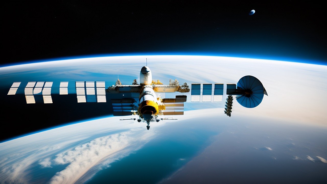
The SWOT (Surface Water and Ocean Topography) satellite is an innovative technology developed by NASA to provide accurate and comprehensive measurements of the world's oceans, lakes, and rivers. This advanced satellite is equipped with a radar altimeter, interferometer, and microwave radiometer, which work together to measure the height, width, and depth of water bodies with incredible precision. This data is then used to gain insights into ocean circulation, sea level rise, and climate change, making the SWOT satellite a crucial tool for understanding the world's water resources.
One of the key strengths of the SWOT satellite is its ability to provide unprecedented global coverage. With the ability to map 90% of the world's oceans, the SWOT satellite can provide a comprehensive view of the planet's water resources. Additionally, the SWOT satellite can provide high-accuracy measurements of the surface of water bodies, allowing for precise monitoring of changes over time.
Another strength of the SWOT satellite is its frequent measurements. The SWOT satellite can measure the height of water bodies every 21 days, providing more frequent measurements than previous technology. This enables scientists to monitor changes and trends over time and provides data that can help improve water management strategies.
The SWOT satellite's capabilities also offer significant opportunities for improving disaster response and management. With its ability to provide real-time measurements of water height and extent, the SWOT satellite can support emergency responders during floods and other natural disasters, helping to save lives and minimize property damage.
Additionally, the SWOT satellite provides valuable data for fisheries management. With accurate measurements of ocean currents and temperatures, fisheries managers can make more informed decisions about when and where to fish. This can lead to more sustainable fishing practices and better management of fish populations.
Despite its many strengths, the SWOT satellite does face some challenges. The primary challenge is its high cost, as well as the need for extensive ground support. The satellite is also complex and requires a high level of expertise to operate and analyze data effectively.
Another potential challenge is the need for international cooperation and funding. The SWOT satellite is a global resource, and it is essential that it is accessible to all countries that need it. However, international cooperation and funding can be difficult to secure, and it is essential that countries work together to ensure that this valuable resource is available to all who need it.
In conclusion, the SWOT satellite is an innovative technology that provides unprecedented insight into the world's water resources. With its ability to provide comprehensive, accurate, and frequent measurements of water bodies, the SWOT satellite is a powerful tool for understanding and managing our planet's water resources. While the satellite faces some challenges, its potential to revolutionize water management and disaster response makes it a critical asset for scientists and policymakers around the world.


