UPDATE 1-INSIGHT-Satellite imagery, ship data indicates path of Russian vessel Kyiv says shipped “looted” grain
Late last month, a Russian-flagged cargo ship carrying corn pulled into the Turkish port of Izmir on the Aegean Sea. The SV Nikolay had loaded the grain at Port Kavkaz, in Russia, six days earlier on June 18, according to documentation provided by an employee of the Russian company that owns the ship. A Reuters analysis of satellite imagery, ship-tracking data and open-source photos and videos yields a different port of origin for the SV Nikolay.
Late last month, a Russian-flagged cargo ship carrying corn pulled into the Turkish port of Izmir on the Aegean Sea. The SV Nikolay had loaded the grain at Port Kavkaz, in Russia, six days earlier on June 18, according to the documentation provided by an employee of the Russian company that owns the ship.
A Reuters analysis of satellite imagery, ship-tracking data and open-source photos and videos yields a different port of origin for the SV Nikolay. On June 18, Reuters’ analysis of a satellite image indicates, that the ship was docked at the main grain terminal in Crimea, the Ukrainian peninsula seized by Russia in 2014. The Reuters reconstruction of the vessel’s voyage comes as Kyiv officials allege that Ukrainian grain from territory recently occupied by Russia is being stolen amid the Ukraine-Russia war and then exported via Crimea to places such as Turkey and Syria.
A Ukrainian official said SV Nikolay is among vessels Ukrainian authorities believe are exporting what they describe as “looted” grain. Moscow has denied stealing Ukrainian grain. The SV Nikolay’s tracking system was offline for days around the date in question, making it difficult to determine the ship’s location. The official said that was a tactic vessel are using to conceal visits to Crimea, along with the use of documents that falsely identify the grain as loaded in Port Kavkaz.
An employee of Moscow-based Kama LLC said the company owns the SV Nikolay and denied the vessel carried Ukrainian grain or called at Crimea. Alexander Ryndin, who works in chartering for the Kama, showed Reuters during a video call two documents in support of that account that he identified as a bill of lading, or a detailed list of a shipment of goods, and a safety and quality certificate. Both documents listed Kavkaz as the port of loading, which is about 220 nautical miles from Sevastopol, across the Kerch Strait from Crimea. The safety and quality certificate also identified the cargo as corn originating from Russia. When asked about the satellite image that shows a ship matching SV Nikolay’s description at Crimea’s main grain terminal in Sevastopol on June 18, Ryndin told Reuters the vessel was not there. "You can make whatever photographs you want," he said. Ryndin also said there are legitimate logistical reasons to ship Russian grain via Crimea.
Senior representatives at the Kama didn’t respond to requests for comment. Reuters was unable to independently trace the origin of the corn onboard. The conflict in Ukraine has heightened concerns about food security both in Ukraine and around the globe, driving up world food prices to record levels this year. Ukraine is one of the world’s largest grain exporters but has struggled to export goods with war raging along its southern coast and many of its ports blocked.
Russia and Ukraine signed a landmark deal on Friday to reopen Ukrainian Black Sea ports for grain exports, raising hopes that an international food crisis aggravated by the Russian invasion can be eased. SATELLITE IMAGE
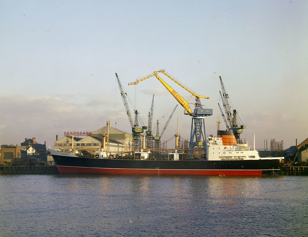
Reuters’ analysis centres on a high-resolution image taken on June 18 by private satellite operator Planet Labs PBC of Sevastopol’s grain terminal. The image captures two ships at berth. The top ship is slightly longer, with a flat stern and rounded bow, and has three partially filled cargo holds. The ship below is slightly shorter with a red deck, rounded stern and pointed bow. Using the satellite image, Reuters was able to measure the top ship to be 139 metres long and 16 metres wide, which matches the SV Nikolay’s specifications. Photos and videos of the SV Nikolay taken over the years by shipping enthusiasts show the top ship and the SV Nikolay have the same colouring and contours, including a flat stern and rounded bow, the same number of cargo holds and the same lifeboat placement and observation deck shape.
The SV Nikolay openly broadcast its destination as Port Kavkaz before its tracking system went offline, which follows a pattern Reuters has observed with other cargo ships Kyiv alleges is involved in exporting Ukrainian grain via Crimea. To help identify the vessel in the satellite image, Reuters narrowed the pool of potential ships by looking at those that had broadcast Port Kavkaz or the surrounding areas as a destination anytime in June. More than 380 bulk cargo ships stopped or broadcast a planned stop in Port Kavkaz or nearby in June, according to ship-tracking data from Refinitiv Eikon. Of these, Reuters found that only 38 vessels had measurements similar to the top ship in the satellite image. All but two of the ships could be ruled out: Their tracking systems showed they were elsewhere on June 17 and 18. Just one, the SV Nikolay, matched both the time frame and the shape and colouring of the top ship in the satellite image.
Very few bulk carriers broadcast stops at Sevastopol, which is targeted by Western sanctions. Using ship-tracking data, Reuters identified a late May visit by the SV Nikolay to Novorossiysk, Russia. Planet Labs captured the ship’s visit there in another satellite image. A side-by-side comparison of this image with the June 18 one in Sevastopol showed a match: The ships had the same observation deck shape, same rounded bow and flat stern, same lifeboat placement and the same overall vessel structure and colouring.
Some aspects of the account from the employee of the company that owns SV Nikolay couldn’t be checked. Ryndin said the SV Nikolay was docked in Port Kavkaz on June 18, but satellite imagery available from that day is too low-resolution to identify the ships present there. There are gaps in ship-tracking data as well. Ships typically openly broadcast their position, which is captured in publicly available databases. But the SV Nikolay’s tracking system was offline for eight days during its June journey. Ships also report non-public positional data to the country or flag state they are registered with, but Reuters was unable to obtain that data for the SV Nikolay.
In addition, it is theoretically possible that another ship with the SV Nikolay’s exact dimensions, shape, colouring and other characteristics exists and was in Sevastopol. However, Reuters has uncovered no independent evidence to contradict that the SV Nikolay is the ship seen in the June 18 satellite image. Sean O'Connor, a lead satellite imagery analyst at Janes, the defence intelligence provider, reviewed the Reuters analysis and said the evidence was “compelling” that SV Nikolay was in Sevastopol on that date. He noted, in particular, the matching dimensions and the side-by-side comparison with the May satellite image of SV Nikolay.
A photograph published by Ukrainian news website Myrotvorets buttresses Reuters’ analysis of the Planet Labs imagery. The photo caption identifies the ship as the SV Nikolay at the same Sevastopol grain terminal on June 17. The vessel matches the specific contours and colouring and was docked in the same position at the terminal as the ship in the Planet Labs satellite image appeared the next day. At Aval, the company that operates the grain terminal, a person who answered the phone said the company had no press department before hanging up.
Russia’s government didn’t respond to requests for comment, nor did Turkey. Izmir port and the Aegean marine directorate general directed inquiries to Turkey’s Transportation and Infrastructure Ministry, which also didn’t respond to a request for comment.
Ukraine’s prosecutor’s office didn’t respond to requests for comment about SV Nikolay’s movements. Ukrainian officials have said they believe hundreds of thousands of tonnes of allegedly stolen grain have been exported. Kyiv has pressed Turkish authorities to investigate three Russian-flagged dry bulk ships that it alleges have exported grain via Crimea. Those three vessels are owned, according to public shipping database Equasis, by a subsidiary of a Western-sanctioned Russian-state-owned company called United Shipbuilding Corporation (USC), as Reuters previously reported.
On June 15, Ukraine’s prosecutor’s office publicly said two of those three ships had turned off tracking systems and entered “fictitious information” about the ships visiting Russian ports, rather than Crimean ones. Neither USC nor the Russian government responded to requests for comments about those ships.
Representatives of Sevastopol’s government and port authorities for Sevastopol and Port Kavkaz didn’t respond to requests for comment. SHIP DOCUMENTS
The seller listed on the safety and quality certificate that Kama’s Ryndin showed Reuters is Petrokhleb-Kuban LLC, a Russian-based grain trader. The company didn’t respond to questions about the SV Nikolay shipment. Petrokhleb-Kuban previously told Reuters it has never bought or moved grain from Ukrainian territory and that it exports products exclusively from Russian territory, produced by Russian farmers. The safety and quality certificate that Ryndin showed Reuters identified the buyer as Yayla Agro, a large Turkish agribusiness. Yayla Agro told Reuters it purchased 7,000 tonnes of corn delivered by the SV Nikolay, which reached Izmir port on June 24. Yayla said that all the cargo documents and certificates listed the loading port as “Kavkaz” and the product’s origin as Russian. It added that because the documents were issued by Russian authorities “the accuracy of the information in the documents is respected.”
The company said it hasn’t purchased cargo from occupied Ukrainian territory or shipped from Western-sanctioned Sevastopol port. The company added that it complies with “the rules of international law as an absolute priority in its commercial activities.” On June 11, the SV Nikolay left Samsun, Turkey, and set its destination to Port Kavkaz in Russia before its tracking system went offline. The ship began broadcasting again in the Black Sea at 1 a.m. GMT on June 20, according to data from MarineTraffic, a global maritime analytics provider. Video footage captured and shared by Yoruk Isik, an Istanbul-based geopolitical analyst at the Bosphorus Observer consultancy, shows the ship crossing the Bosphorus on June 21.
The Planet Labs satellite image Reuters analysed places the SV Nikolay in Sevastopol at 11.44 a.m. GMT on June 18. An analysis for Reuters by London-listed maritime analytics company Windward found it was “highly improbable” for the ship to have also been in Port Kavkaz that day. Port Kavkaz is at least a 20-hour trip from Sevastopol based on the vessel’s maximum speed of 10 knots, according to Windward’s behavioural analysis. The SV Nikolay arrived at Izmir on Friday, June 24 after midnight GMT, or about 3.30 a.m. local time, according to Refinitiv Eikon ship-tracking data. After staying at anchorage most of the day, the ship entered the port around 6 p.m. local time.
Isik, the geopolitical analyst, said the next morning he observed a port crane emptying load after a load of what appeared to be corn from the SV Nikolay into a series of waiting trucks. He shared with Reuters images and video footage of the ship unloading, with the lettering SV Nikolay visible on its stern.
(This story has not been edited by Devdiscourse staff and is auto-generated from a syndicated feed.)
ALSO READ
Russia escalates attacks on Ukraine's energy infrastructure, leading to widespread power outages
Ukraine says it downed two of three Russian drones overnight
Ukraine says Russia has fired five Zircon missiles at Kyiv this year
Ukraine's energy system far from collapse despite weeks of Russian strikes
Ukraine says it downed two of three Russian drones overnight


