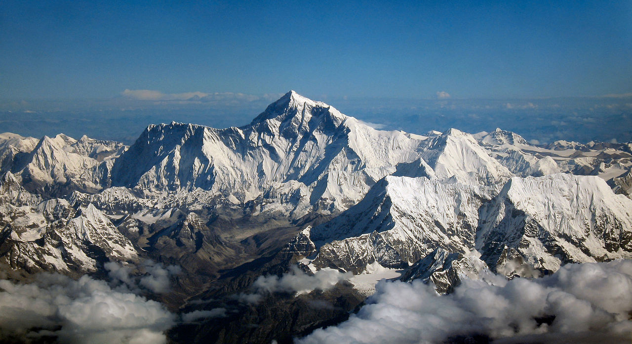
Mount Everest height being measured after reports of shortening due to earthquake
- Country:
- Nepal
Nepal on Wednesday deployed a team to find out the height of the world's highest peak, Mount Everest. This comes after speculations regarding the shrinking of Mount Everest's height started floating after Nepal was hit by a devastating earthquake measuring 7.9 Richter scale in April 2015.
A group of four officials from the Ministry of Land Management, Cooperatives and Poverty Alleviation set off for the peak after Prime Minister KP Sharma Oli bid them farewell, the Prime Minister's Secretariat said in a statement. "It will be the first time that Nepal is measuring the height of Sagarmatha (Mt. Everest). You all please bring the measurement on centimetres also. The measurement conducted by you will be the only official height of the Mount Everest," the Secretariat quoted Prime Minister Oli as saying.
The team comprises of Chief Survey Officer Khim Lal Gautam and Survey Officer Rabin Karki, Suraj Singh Bhandari and Amin Yubraj Dhital. Amongst them, Chief Survey Officer Gautama and Survey Officer Bhandari will make it to the top of the Everest whereas the two other officials will remain at the base camp assisting the surveyors and monitor activities at an altitude of 5,364 meters.
The team is expected to return to Kathmandu within a month while the report is expected to be announced by end of this year. The survey will be conducted according to different categories, including Precise Levelling, Trigonometric Levelling, Gravity Survey and GNSS survey which covers 285 points with 12 different observation stations.
The first kind of survey would help in finding the height from the Southern Plains of Nepal to the selected control points; the second is performed from selected control points, the point of precise levelling. The Gravity Survey will define the local surface that corresponds to sea level and its imagined extension under (or over) land areas and the fourth survey determines the location of gravity points benchmarks as well as the top of Everest. The centuries-old belief regarding the height of Mount Everest measuring 8,842 meters will be verified at earliest of 2020.
(With inputs from agencies.)
ALSO READ
Prime Minister Modi set to lead massive roadshow in Chennai
Simon Harris elected new Irish prime minister
Iceland picks Bjarni Benediktsson as next prime minister
Prime Minister Modi alleges leaders of INDIA alliance are obstructing country's development by abusing and threatening him
Revised Headline - Prime Minister Modi Leads Roadshow


