Fire on the Fringe: Mapping Wildfire Risks in Urban Expansion Zones
This article discusses the increasing wildfire risks at the wildland-urban interface due to urban expansion into natural areas. By mapping these risks globally, the research provides essential insights for urban planning and disaster mitigation, aiming to enhance infrastructure, housing, and overall livability in these high-risk zones.
As cities grow and sprawl into adjoining wildlands, the interface between urban areas and these natural landscapes—known as the wildland-urban interface (WUI)—becomes a critical flashpoint for wildfires. This burgeoning risk poses significant challenges for urban planning and disaster mitigation. The latest research provides a global overview of wildfire risks at these interfaces, offering invaluable insights that could reshape future urban development and enhance our preparedness for wildfire events.
The Growing Challenge at the Wildland-Urban Interface
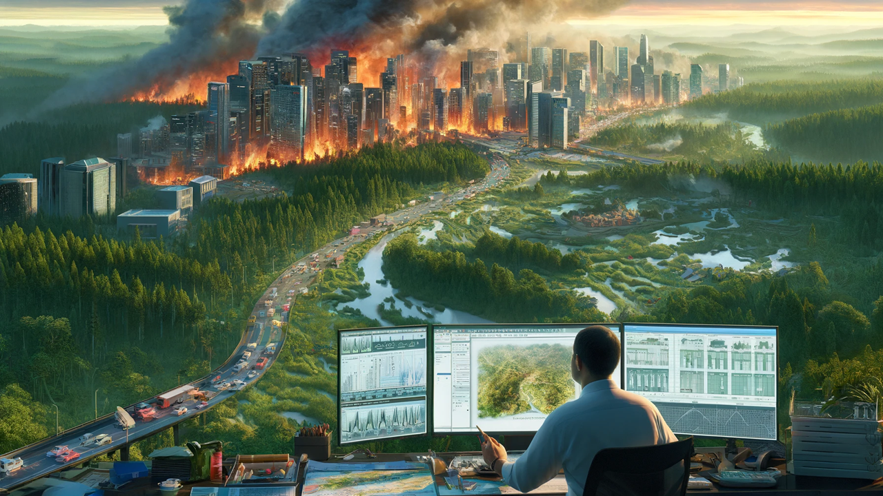
The wildland-urban interface is where human structures and wildland vegetation intermingle, creating a unique zone of heightened fire risk due to the proximity of flammable natural materials to homes and businesses. As urban populations expand, more people find themselves living in these high-risk areas, often without a full understanding of the dangers or the necessary measures to mitigate them.
Mapping the Risks
Recent studies have utilized advanced geographic information systems (GIS) and remote sensing technologies to map these areas with precise detail. By identifying the specific regions at greatest risk, researchers can not only highlight where urban planning needs to be most cautious but also direct emergency services to prioritize resources and response strategies. This mapping effort marks a significant step forward in our approach to managing wildfire risks.
Global Patterns of Wildfire Risks
The research indicates that certain global regions are more susceptible to WUI fires due to a combination of climatic conditions, vegetation types, and urban expansion patterns. Areas like the Western United States, Southeastern Australia, and the Mediterranean basin are particularly vulnerable. In these regions, summers are hot and dry—a prime condition for wildfires—and the increasing encroachment of cities into surrounding forests and scrublands adds fuel to potential fires.
Implications for Urban Planning
Understanding where wildfires are most likely to occur enables urban planners to design cities that are better adapted to their environments. Strategies may include creating firebreaks, using fire-resistant building materials, and implementing landscaping guidelines that reduce the amount of flammable vegetation near homes. Additionally, planning new developments with consideration for evacuation routes and emergency access can save lives when wildfires do occur.
Disaster Mitigation and Community Preparedness
Beyond urban planning, the maps generated by this research play a crucial role in disaster mitigation. They can guide the creation of community preparedness programs that educate residents about the risks of living near wildlands and the steps they can take to protect their properties. Emergency management agencies can also use this data to simulate wildfire scenarios and plan their responses more effectively, ensuring that when fires do break out, they are ready to act swiftly.
Technological Advances in Monitoring and Response
The integration of AI and machine learning with traditional GIS for wildfire risk assessment offers a promising avenue for advancements in this field. These technologies can predict how fires will spread based on current weather conditions and the physical and biological characteristics of the landscape. This predictive capability is crucial for preemptively evacuating areas and deploying firefighting resources where they are most needed.
Case Studies of Effective Wildfire Management
There are several examples of how urban areas have successfully integrated these research findings into their planning and disaster response strategies. In California, for example, new housing developments in fire-prone areas are required to have fire-resistant roofs, ample access roads for emergency vehicles, and clear vegetation zones to act as firebreaks. Similar measures are being considered or implemented in other high-risk areas around the world, drawing on the data provided by wildfire risk research.
The Path Forward
As urban areas continue to expand into wildlands, the challenges posed by wildfires will only increase. However, with targeted research and strategic planning, we can mitigate these risks. The future of urban development at the wildland-urban interface must include a comprehensive approach that incorporates risk mapping, community education, improved building practices, and innovative technologies for monitoring and response.


