

Innovative Geospatial Survey NAKSHA Launches in India
Union Rural Development Minister Shivraj Singh Chouhan will launch the National Geospatial Knowledge-based Land Survey of Urban Habitations (NAKSHA) to update urban land records across 26 states and 3 Union Territories. The program aims to improve urban planning and property administration, fostering transparency and efficiency.
- Country:
- India
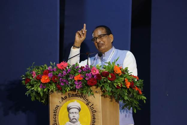
Union Rural Development Minister Shivraj Singh Chouhan will inaugurate the National Geospatial Knowledge-based Land Survey of Urban Habitations (NAKSHA) program in an event at Raisen, Madhya Pradesh. The initiative seeks to update land records in 152 Urban Local Bodies (ULBs) across 26 states and three Union Territories, according to a ministry statement.
The program, spearheaded by the Department of Land Resources, aims to accurately document land ownership in urban areas. Through enhanced urban planning and a reliable IT-based property record system, the initiative promises to improve citizens' ease of living and minimize land-related disputes, the Ministry of Rural Development reported.
The Survey of India, as the technical partner, will employ third-party vendors for aerial surveys, while the Madhya Pradesh State Electronic Development Corporation will develop a web-GIS platform. The program, with a budget of Rs 194 crore funded by the Government of India, will officially commence with drone flights and the release of promotional materials.


 Google News