

Reports reveal impact of extreme river and flooding from sea-level rise
One report looks at what would happen when rivers are flooded by heavy rain and storms, while the other examines flooding exposure in coastal and harbor areas and how that might change with sea-level rise.
- Country:
- New Zealand
Two reports released today by NIWA and the Deep South National Science Challenge reveal new information about how many New Zealanders, how many buildings and how much infrastructure could be affected by the extreme river and coastal flooding from storms and sea-level rise.
One report looks at what would happen when rivers are flooded by heavy rain and storms, while the other examines flooding exposure in coastal and harbor areas and how that might change with sea-level rise.
NIWA researcher Ryan Paulik says the New Zealand Fluvial (river) and Pluvial (rainfall) Flood Exposure report is a first cut at identifying the amount of exposure to flooding at a national scale based on available flood maps.
Their findings show that across the country almost 700,000 people and 411,516 buildings worth $135 billion are presently exposed to river flooding in the event of extreme weather events. With climate change, more extreme rainfall events are expected to occur – but weren't covered in this report. Also exposed are 19,098 km of roads, 1574km of railways and 20 airports.
The information was put together using a range of flood maps and data published by local authorities, central government organizations, Crown Research Institutes, and Land Information New Zealand. However, Mr. Paulik says while the information used was the best publicly available, it varied in detail and age, which means the findings are general and should only be used as a first nationwide estimate.
Mr. Paulik says the research has revealed an urgent need for national flood risk maps.
"National flood risk maps are essential because we need accurate and comprehensive information about the impact and costs of flooding today and under different climate change scenarios so everyone can plan and adapt."
A range of technical recommendations has been made to the central government about how the national maps could be produced.
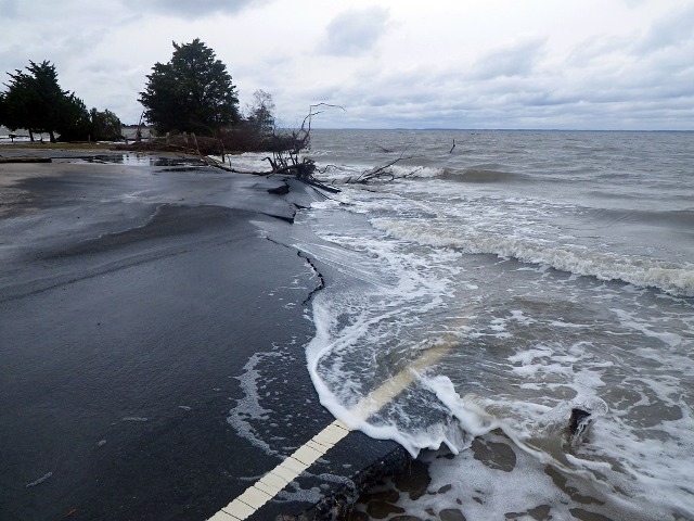
The second report, Coastal Flooding Exposure Under Future Sea Level Rise, looks at extreme storm-tide flood levels (one-in-100 year flood events) combined with various sea levels up to 3 meters higher than they are today.
Mr. Paulik and Dr. Rob Bell modeled coastal floods that can occur when a storm surge coincides with a large high tide to cause extreme flood heights. This scenario must be planned for under the New Zealand Coastal Policy Statement.
The sea-level rise modeling builds on flood mapping work undertaken by the Parliamentary Commissioner for the Environment (PCE) in 2015. The PCE study used Mean High-Water Spring (the highest level that spring tides reach on average) as a baseline and did not take into account flooding during an extreme storm. Mr. Paulik and Dr. Bell have replaced this measure with a one-in-100 year extreme sea-level event such as an ex-tropical storm or major storm. They then assessed the risk exposure for 10 cm increments of sea-level rise up to 3 meters.
This second report shows 72,000 New Zealanders currently exposed to present-day extreme coastal flooding, along with about 50,000 buildings worth $12.5 billion. The risk exposure increases markedly with sea-level rise, particularly during the first meter of rising, which means long-term planning to address the risk is urgent.
There is near certainty that the sea will rise 20-30 cm by 2040. By the end of the century, depending on whether global greenhouse gas emissions are reduced, it could rise by between 0.5 to 1.1 m, which could add an additional 116,000 people exposed to extreme coastal storm flooding.
Dr. Bell said it was important for councils addressing coastal adaptation to prioritize the areas most at risk but also to undertake regional 100-year risk assessments to inform where land-use planning restrictions are put in place to limit future intensification – even if coastal flooding was some years away.
"We need to put the brakes on development in coastal areas even if areas may not be impacted for a few decades - given sea level will continue rising," he said.


 Google News