The first of EUMETSAT’s Meteosat Third Generation (MTG) geostationary satellites, Meteosat-12, has officially become fully operational, providing a major boost to the World Meteorological Organization (WMO) and the global community's ability to forecast extreme weather and monitor climate change.
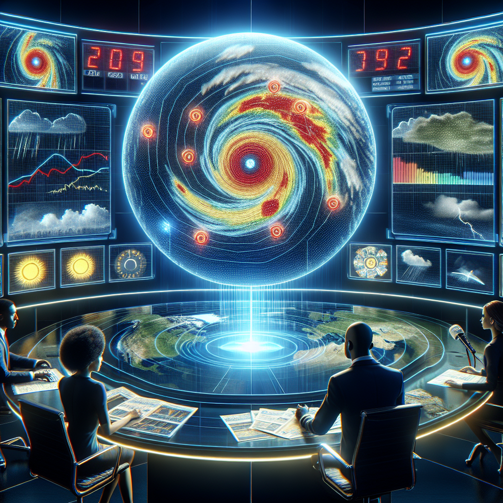
Meteosat-12 carries two advanced instruments: the Flexible Combined Imager (FCI) and the Lightning Imager (LI), both of which play vital roles in improving weather forecasts. These instruments allow for high-resolution, accurate data collection that helps predict severe weather events, offering valuable insights for protecting lives and livelihoods.
Data from these instruments is now being disseminated to national meteorological services, enhancing their ability to track weather systems and provide timely warnings for extreme conditions. The impact on weather forecasting and climate analysis is expected to be significant, particularly for regions that experience frequent extreme weather events.
“The MTG satellite system is one of the most innovative and complex meteorological systems ever built, and Meteosat-12 is at the forefront of this leap forward in satellite technology,” said EUMETSAT Director-General Phil Evans.
Enhancing Forecasting and Climate Monitoring
MTG satellites, including Meteosat-12, will ensure the continuity of geostationary data for weather forecasting over the next two decades. These satellites provide enhanced imaging capabilities, including real-time lightning detection—an entirely new feature for European weather satellites. The introduction of this technology will significantly improve the ability to forecast extreme weather and assist in long-term climate monitoring.
“The high-resolution imaging and frequent scanning capabilities of Meteosat-12 will greatly improve our understanding of severe weather events and their progression, as well as support applications in marine meteorology and agriculture,” said WMO Secretary-General Celeste Saulo.
The Flexible Combined Imager on Meteosat-12 utilizes two scanning modes: one that covers the entire Earth in just 10 minutes, and another rapid scan mode focused on Europe and Northern Africa that will update every 2.5 minutes, allowing meteorologists to track fast-developing weather events.
Improved Coverage and Early Warning Systems
In addition to its imaging capabilities, Meteosat-12 also carries two important services: the Data Collection and Retransmission Service (DCS) and the Geostationary Search and Rescue Relay (GEOSAR). The DCS collects data from ground-based meteorological platforms and transmits it to MTG ground stations, enhancing environmental monitoring. The GEOSAR transponder, on the other hand, aids in search and rescue operations by receiving distress signals from emergency beacons and relaying them to rescue services.
Meteosat-12 is particularly significant for improving weather observation capabilities in Africa, where satellite data has traditionally been limited. The satellite’s high-resolution imagery and lightning detection will play a crucial role in strengthening African weather services, enabling more accurate operational forecasts and timely warnings.
“Innovative satellite technologies, like Meteosat-12’s lightning detection, are key to achieving the goals of the Early Warnings for All initiative, which aims to improve disaster preparedness worldwide,” said Saulo.
Global Collaboration and Long-Term Goals
Meteosat-12 contributes to the Vision for the WMO Integrated Global Observing System (WIGOS) 2040, which outlines strategic objectives for the global meteorological network. The satellite's capabilities align with the global efforts coordinated through the Coordination Group for Meteorological Satellites (CGMS), a body that facilitates international collaboration in the planning and deployment of satellite missions for weather forecasting, climate monitoring, and early warning services.
WMO advocates for open access to satellite data, ensuring that it is available for weather, climate, water, and space weather applications to support its member nations. This open data access is essential for improving decision-making, emergency response, and sustainable development globally.
Meteosat-12 represents a significant leap forward in satellite-based meteorology, helping improve weather forecasts, monitor the climate, and strengthen early warning systems, benefiting not only Europe but also other regions such as Africa that are vital for global cooperation in tackling climate-related challenges.