

Drone Destination deploys drones to map village land under SVAMITVA scheme
Delhi-based company Drone Destination has joined the Centres SVAMITVA scheme to map land in at least one lakh villages in India using its drones, a statement said on Wednesday.
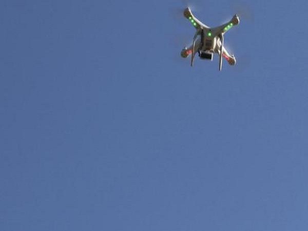
- Country:
- India
Delhi-based company Drone Destination has joined the Centre's SVAMITVA scheme to map land in at least one lakh villages in India using its drones, a statement said on Wednesday. Prime Minister Narendra Modi had on April 24 last year launched the SVAMITVA (Survey of Villages and Mapping with Improvised Technology in Village Areas) scheme with an aim to provide land ownership titles to farmers by scanning plots aerially.
''We aim to map at least one lakh villages under the SVAMITVA scheme. This will be in addition to large-scale mapping of at least 1 lakh sq km,'' the statement by Drone Destination said. ''We have partnered with two GIS (geographic information system) companies, NeoGeoInfo Technologies and Matrix Geo Solutions to execute this project,'' it added. The scheme is a reformative step towards establishment of clear ownership of property in rural inhabited areas, by mapping land parcels using drones and providing "record of rights" to village household owners by issuing legal ownership cards (property cards/title deeds) to property owners. ''It (scheme) aims to empower the 'annadata' (farmer) by allowing monetisation of properties and raising bank loans,'' the company noted. PTI DSP SRY


 Google News