

El Nino to La Nina: Shifting Climate Patterns Loom
The World Meteorological Organization (WMO) forecasts that the El Nino weather pattern may shift to cooler La Nina conditions later this year. Despite El Nino's gradual end, long-term climate change remains a concern due to greenhouse gases. High sea surface temperatures will still significantly influence weather conditions in the coming months.
- Country:
- Switzerland
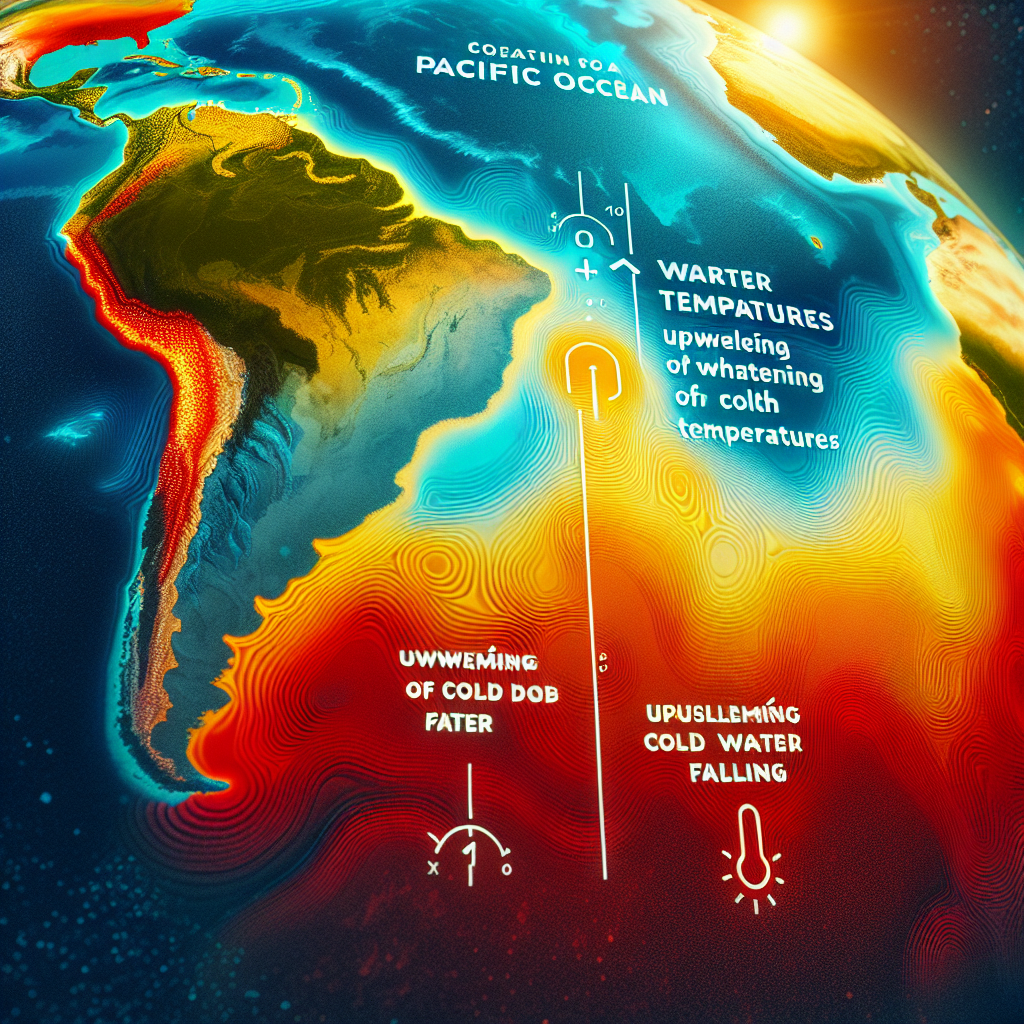
The El Nino weather pattern that can cause extreme events such as wildfires and tropical cyclones is forecast to swing back into generally cooler La Nina conditions later this year, the World Meteorological Organization (WMO) said on Monday. El Nino is a naturally occurring warming of ocean surface temperatures in the eastern and central Pacific, while La Nina is characterised by cold ocean temperatures in the equatorial Pacific region and is linked to floods and drought.
WMO said there was a 60% chance that La Nina conditions would take hold between July to September, and a 70% chance of them occurring between August and November. "The end of El Nino does not mean a pause in long-term climate change as our planet will continue to warm due to heat-trapping greenhouse gases," said WMO Deputy Secretary-General Ko Barrett.
"Exceptionally high sea surface temperatures will continue to play an important role during the next months." The past nine years have been the warmest on record despite the cooling effect of La Nina that spanned from 2020 to early 2023, according to WMO.
ALSO READ
-
ITU and WMO urge spectrum protection to keep weather forecasts and warnings reliable
-
OceanEye Alliance Secures Pledges to Close Critical Gaps in Ocean Observations
-
El Niño Health Alarm: Rising Heat, Floods and Hunger Put Communities on High Alert
-
Climate Data Gaps Leave Communities Searching for Clear Answers to Growing Local Risks
-
Pacific Leaders Back Stronger Early Warnings as Cascading Hazards Threaten Islands


 Google News