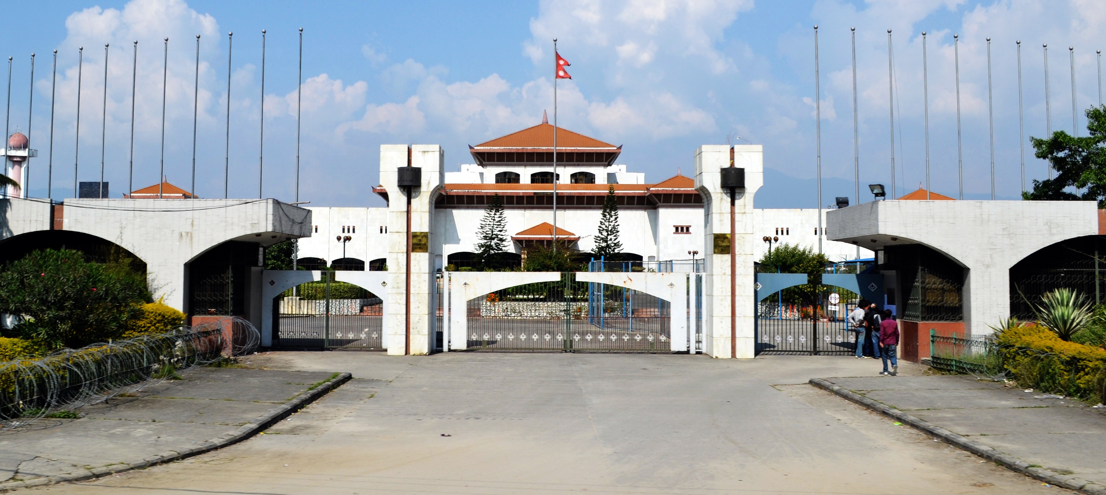
Nepal's parliament approves new map including territory controlled by India
- Country:
- Nepal
The upper house of Nepal’s parliament approved a new map for the country on Thursday including land controlled by India, in a row that has strained ties between the South Asian neighbors.
India, which controls the region a slice of land including Limpiyadhura, Lipulkeh, and Kalapani areas in the northwest – has rejected the map saying it was not based on historical facts or evidence.
Some 57 members in the 59-seat National Assembly, or the upper house of the country’s parliament, voted in favor of a constitutional amendment bill seeking to replace the old map, chairman of the house Ganesh Prasad Timilsina said. The bill was passed by the lower house of parliament over the weekend.
(This story has not been edited by Devdiscourse staff and is auto-generated from a syndicated feed.)
- READ MORE ON:
- Nepal
- India
- South Asian
- COVID-19
ALSO READ
Nepal Army chief flags off Everest cleaning campaign
Nepal cabinet recommends prorogation of winter session of lower House
Nepal invites investments from Indian businesses
India gifts 35 ambulances, 66 school buses to various health and education institutions in Nepal
Winter session of Nepal's Parliament prorogued


