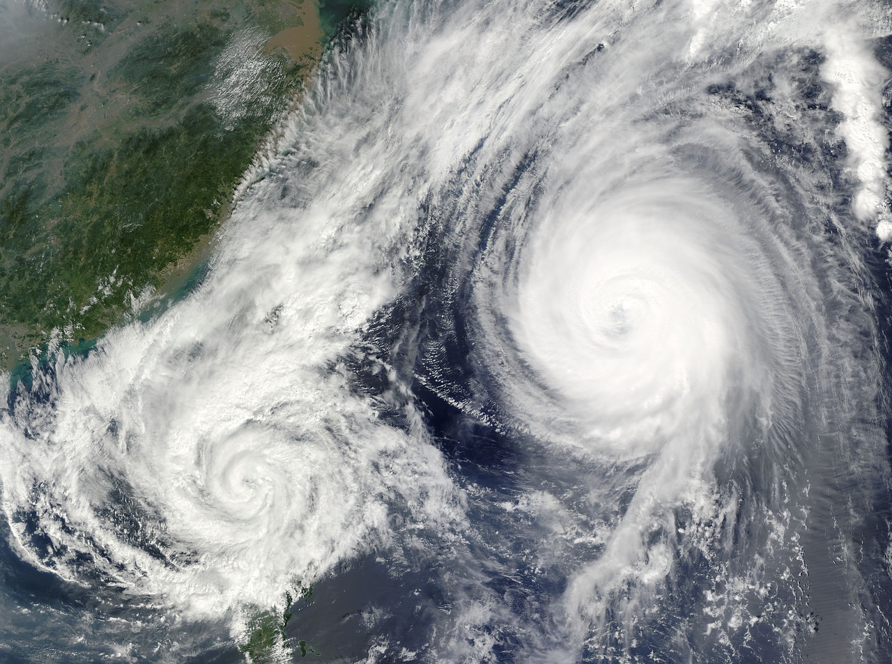
Storm Eta floods parts of South Florida as it churns over Gulf of Mexico
Tropical Storm Eta unleashed torrential rain on South Florida on Monday after making landfall in the Keys, flooding roads and residential neighborhoods and knocking out power for thousands as it moved back over the Gulf of Mexico.

Tropical Storm Eta unleashed torrential rain on South Florida on Monday after making landfall in the Keys, flooding roads and residential neighborhoods and knocking out power for thousands as it moved back over the Gulf of Mexico. Eta, which was located 30 miles west-southwest of the Dry Tortugas and moving further into the Gulf, could cause life-threatening flash floods across urban parts of southeast Florida throughout the day, a National Hurricane Center advisory said.
In Broward County, on the southeast of the state's peninsula, roads in residential and commercial neighborhoods were entirely submerged in water, video on Twitter showed. From her home in a residential neighborhood of Weston, Florida, 26-year-old Danielle Taylor saw people wading knee-deep along the street and rowing canoes down the block.
Taylor, who was not among the more than 42,000 customers in Florida who had no power on Monday, according to poweroutage.us, said she had watched cars trying to drive down the inundated road. "They were struggling," she said in a telephone interview. Eta made landfall on Lower Matecumbe Key, part of an archipelago off Florida' southern tip, just before midnight on Sunday as a strong tropical storm with maximum sustained winds of 65 miles per hour (100 km/h). Earlier on Sunday, it battered central Cuba with torrential rain, bursting the banks of rivers and triggering flash flooding in some towns.
The storm was projected to drop 2 to 4 inches of rain on parts of south Florida on Monday, which would add up to isolated maximum totals of 18 inches of rainfall in some parts of the region, the NHC advisory said. Eta was forecast to make a dip in a southwesterly direction on Monday before shifting back to the northeast by Wednesday, the NHC said. Though currently moving offshore, Eta could still pose a threat to Florida later this week, it said.
"Eta could approach the Florida Gulf Coast later this week as a tropical storm, and possibly bring impacts from rain, wind, and storm surge," the advisory said.
Also Read: Official: Rifle shell casings found at Breonna Taylor scene
(This story has not been edited by Devdiscourse staff and is auto-generated from a syndicated feed.)
- READ MORE ON:
- Taylor


