Heavy rain forecast for Odisha as low-pressure area forms
- Country:
- India
The India Meteorological Department (IMD) on Thursday forecast squally weather with strong surface winds over North Bay of Bengal and adjoining areas in the central Bay of Bengal region and has warned fishermen not to venture into deep waters.
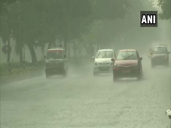
The Met department said light to moderate rainfall with isolated heavy to very heavy rainfall is likely in several parts of Odisha over the next 48 hours under the influence of a low-pressure area which has formed over the Northwest Bay of Bengal.
The IMD in a special bulletin said: Under the influence of low pressure, squally weather with strong surface winds reaching 40 to 50 kmph is likely to prevail over North Bay of Bengal and adjoining central Bay of Bengal till July 25 and over along Odisha coast during July 23 and 25.
Though the rainfall activity will assist in agriculture, mostly Kharif crops, several parts of the State will experience temporary water logging conditions due to the heavy downpour, said IMD.
Fishermen have been advised not to venture off Odisha coast till Sunday. Those in deep sea areas have been advised to return to the coast by Thursday night, it said.
Light to moderate or thundershower occurred at most places over the districts of Odisha on Thursday, with Paradip receiving heavy rainfall of 64 mm between 8.30 am and 5.30 pm, it added.
Meanwhile, the Special Relief Commissioner (SRC) P K Jena in a letter to all the collectors asked to remain vigilant to the situation and remain prepared to meet any water logging/ localised flood like situation including urban areas.
Jena also suggested the district authorities take measures to dewatering the low-lying areas.
(This story has not been edited by Devdiscourse staff and is auto-generated from a syndicated feed.)
ALSO READ
US election: Trump leads Biden in 6 of 7 battleground states, says latest opinion poll
8 gunmen and 5 security force members die in clashes in Iran's southeast, state media report says
UNDP report highlighting digital transformation for Small Island Developing States
PM Modi to address rally in Bengal's Cooch Behar on Thursday
Militants kill 5 Iranian security officers in southeast, state media says


