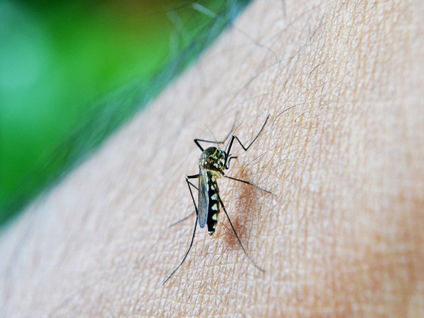
3D map to help combat dengue in West Bengal

- Country:
- India
The West Bengal government has sought the help of National Atlas and Thematic Mapping Organisation (NATMO) to create a 3D map of areas where dengue cases have been on the rise, a senior health department official said on Sunday. According to sources in the health department, over 25 people in the state have succumbed to dengue since January and more than 2000 have been affected by the disease.
There are many vacant plots, abandoned buildings, and isolated places, where water accumulated during rain - something that the "civic officials remain largely unaware of", the official said. The 3D map, once prepared by the Kolkata-headquartered organization, would give them an idea about these places or pockets, where stagnant water has turned into a breeding ground for mosquitoes.
"These places, where water accumulates (after rain), become a den of mosquitoes. Since last year, we have been flying drones to keep a tab on the vulnerable areas, as part of our efforts to contain the disease. "But just photographs taken by drones were not enough, we needed a better plan. That is why we have decided to get a 3-D map prepared," the health official told PTI.
Despite preventive steps and awareness campaigns, the lax approach of common people towards taking safety measures, especially after the monsoons, often turned out to be one the major reasons behind the spurt in dengue cases, he explained. The map would help the civic bodies take stock of places, where water accumulation was likely, he said.
NATMO director Tapati Banerjee told PTI that the organization "has started preparing a map, albeit on an experimental basis for now". Not just Kolkata, the NATMO experts would cover areas in North and South 24 Parganas and Hooghly districts before formulating the map, Banerjee said.
"The health department has written to us to prepare a 3-D map of places, where the incidence of dengue has increased. For a start, drones will be used to collect information from South Dumdum municipality areas, which is among the worst-affected," she said.
Preparing a 3D map from aerial photos was not an easy job, as several factors, including the weather conditions, have to be taken into consideration, she insisted. "It may take us a year to create the map. We will have to convert the images taken by drones into a 3D format and that, in itself, is a tough job. We have to be very precise when it comes to recording the height of buildings, depth of water bodies among other things," she added.
(This story has not been edited by Devdiscourse staff and is auto-generated from a syndicated feed.)
ALSO READ
Cricket-Starc finally hits form in IPL as Kolkata go top
Kolkata graduate’s team makes final of ‘toughest’ TV quiz in UK
Jharkhand: Over Rs 1 cr in cash seized from Kolkata-bound bus, three detained
SpiceJet restarts flights to Sikkim’s Pakyong airport from Kolkata, Delhi
Kolkata Port profit jumps 65pc to Rs 501cr in FY'24, records all-time high cargo handling


