AI and GIS mapping reveal hidden groundwater recharge hotspots in arid regions
Groundwater serves as the lifeline of agriculture and human settlements in arid zones, yet it remains under severe threat due to overuse and decreasing replenishment. In the Middle Draa Valley, groundwater depletion has reached critical levels, driven by irrigation demands, urban expansion, and declining rainfall. Traditional groundwater management methods have proven inadequate, prompting researchers to turn to data-driven solutions.
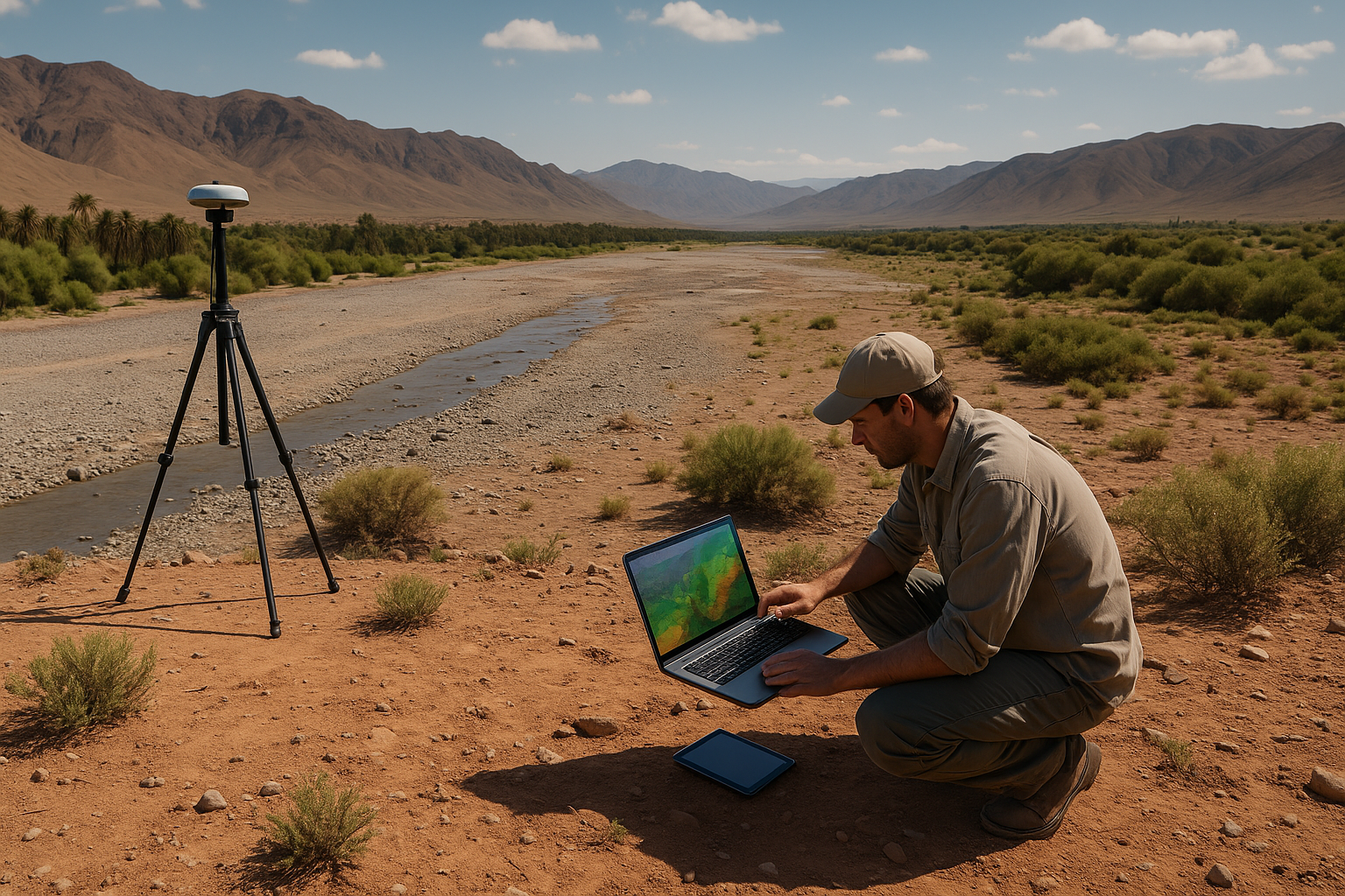
Researchers have developed an advanced machine learning framework to combat groundwater depletion in arid Mediterranean regions. Their study focuses on Morocco's Middle Draa Valley (MDV), a water-stressed area where unsustainable extraction and climate change have placed severe pressure on aquifers.
Published in Water, the study "Integrating GIS, Remote Sensing, and Machine Learning to Optimize Sustainable Groundwater Recharge in Arid Mediterranean Landscapes: A Case Study from the Middle Draa Valley, Morocco," the research introduces an innovative approach combining Geographic Information Systems (GIS), remote sensing, and artificial intelligence to map and prioritize areas with high groundwater recharge potential.
How can machine learning improve groundwater management in arid regions?
Groundwater serves as the lifeline of agriculture and human settlements in arid zones, yet it remains under severe threat due to overuse and decreasing replenishment. In the Middle Draa Valley, groundwater depletion has reached critical levels, driven by irrigation demands, urban expansion, and declining rainfall. Traditional groundwater management methods have proven inadequate, prompting researchers to turn to data-driven solutions.
The team integrated six machine learning algorithms, CART, Random Forest (RF), LightGBM, XGBoost, k-NN, and Support Vector Machine (SVM), with GIS and remote sensing to identify recharge zones across the valley. Using ten conditioning factors, including elevation, slope, stream proximity, rainfall, soil permeability, and vegetation indices, the models were trained to predict areas with varying recharge potential.
The results revealed that machine learning could offer highly reliable predictions, with the LightGBM model emerging as the most accurate, achieving a classification accuracy of 0.90. This performance surpasses other models, demonstrating the potential of AI-driven approaches in addressing groundwater management challenges. Moreover, the analysis showed that elevation, distance to streams, soil characteristics, and vegetation cover were the strongest determinants of groundwater recharge suitability.
Where are the high-potential groundwater recharge zones?
The mapping output classified the Middle Draa Valley into five recharge potential classes, ranging from very low to very high. The study found that high recharge potential zones are concentrated in the Feija Plain and areas near ephemeral streams and alluvial fans. These regions exhibit favorable hydrological and geomorphological conditions, including permeable soils and proximity to natural water channels.
Conversely, mountainous areas and regions with steep slopes showed limited recharge potential due to rapid runoff and poor water retention capacity. The model's findings were validated against field observations, confirming the reliability of the AI-generated maps. These insights are crucial for local water authorities, as they can now target interventions in areas where recharge is most feasible and effective.
The researchers argue that strategic use of these identified zones can support managed aquifer recharge (MAR) programs, enabling communities to capture floodwater during seasonal rains and channel it into aquifers. Such measures would not only slow down groundwater depletion but also improve long-term water security in the valley.
What are the policy implications and future directions?
The study also provides a roadmap for policymakers aiming to balance water use with sustainability. By providing precise spatial data on where recharge is most effective, the research empowers decision-makers to design cost-effective interventions, such as small-scale recharge structures, infiltration basins, and improved irrigation practices. These solutions align with global efforts to achieve Sustainable Development Goals (SDG 6: Clean Water and Sanitation, and SDG 13: Climate Action).
The authors stress that while the study delivers a reliable model for the Middle Draa Valley, further enhancements can increase its applicability. Recommendations include the use of higher-resolution remote sensing data, incorporation of temporal variations, and testing of additional machine learning approaches such as deep learning. Moreover, the methodology can be adapted to other arid regions facing similar groundwater stress, making it a valuable tool for water resource management worldwide.
The research also highlights the importance of interdisciplinary collaboration. By merging hydrology, geospatial science, and artificial intelligence, the team demonstrated how data-driven approaches can transform water resource management strategies. Future work could also integrate socio-economic factors, ensuring that groundwater management aligns with both environmental sustainability and community needs.
- FIRST PUBLISHED IN:
- Devdiscourse


