Govt launches Jaldoot app for capturing water level of wells in villages
- Country:
- India
The Union Rural Development Ministry on Tuesday launched a mobile application that will enable gram rojgar sahayaks to measure the water level of selected wells twice a year -- before and after the monsoon.
The Jaldoot app was launched jointly by ministers of state in the Rural Development Ministry Faggan Singh Kulaste and Sadhvi Niranjan Jyoti and MoS in the Panchayati Raj Ministry Kapil Moreshwar Patil.
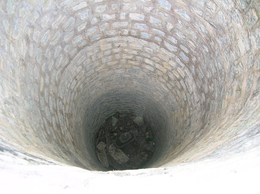
In a statement, the ministry said an adequate number of measurement locations will be selected in every village and these will be representative of the ground water level there.
This app will be used across the country to capture the water level of two or three selected wells in a village. Manual monitoring of water levels in open wells will be done twice a year -- pre-monsoon and post-monsoon -- according to the statement.
Jaldoots, the personnel assigned to measure water level, will upload the geo-tagged photographs through the app on every occasion of measurement, the ministry said.
The app will facilitate panchayats with robust data which can be further used for better planning of works. The ground water data could be utilised as part of the Gram Panchayat Development Plan and MGNREGA planning exercises, it said.
(This story has not been edited by Devdiscourse staff and is auto-generated from a syndicated feed.)


