Dr. Jitendra Singh Highlights Major Upgrades in Search and Rescue Aid Tool (SARAT) Version 2 for Enhanced Marine Safety
Dr. Singh highlighted that the Ministry of Earth Sciences plans to further increase SARAT’s accuracy by enhancing the precision of surface current and wind predictions.
- Country:
- India
Union Minister of State (Independent Charge) for Science and Technology; Earth Sciences, and Minister of State for the Prime Minister's Office, Department of Atomic Energy, Department of Space, Personnel, Public Grievances and Pensions, Dr. Jitendra Singh, announced significant improvements in the Search and Rescue Aid Tool (SARAT) Version 2. In a written reply to an unstarred question in the Rajya Sabha, Dr. Singh emphasized that the new version offers Indian search and rescue agencies improved efficiency, faster response times, and higher success rates in search-and-rescue operations within the Indian Ocean region. Key Enhancements in SARAT Version 2:
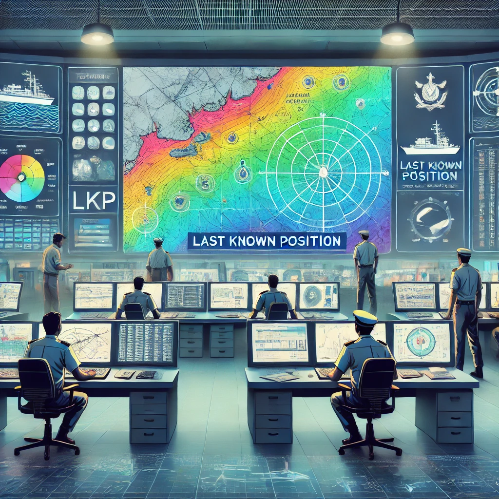
More Accurate Search Areas:
The probable search region is now calculated based on the Last Known Position (LKP) of the missing object, as opposed to the earlier method that relied on the point with the minimum longitude within the search area. This ensures a more precise and accurate starting point for search operations.
Exportable Search Data and Enhanced Visualization:
SARAT Version 2 allows the export of search area data in digital formats, facilitating seamless integration with rescue planning maps.
New visualization features include:
Display of individual and mean particle trajectories.
Finer, distinct color-coded search regions.
A clear marker indicating the LKP.
These enhancements improve the clarity of visual outputs and aid in better interpretation by rescue teams.
Capacity Building and Training Initiatives:
To ensure the effective deployment of SARAT Version 2, the Indian National Centre for Ocean Information Services (INCOIS) has undertaken targeted training and capacity-building initiatives:
Workshops and Training Sessions:
INCOIS organized an online national workshop to train over 60 officers from the Indian Coast Guard (ICG) and the Airports Authority of India (AAI).
The workshop covered both theoretical concepts and practical applications of the updated SARAT tool.
Ongoing Education and Feedback Mechanisms:
INCOIS scientists regularly conduct lectures and demonstrations on the operational aspects of SARAT at workshops hosted by ICG and AAI.
These sessions serve as platforms to gather valuable feedback from stakeholders, contributing to continuous tool refinement.
Future Enhancements and Technological Advancements:
Dr. Singh highlighted that the Ministry of Earth Sciences plans to further increase SARAT's accuracy by enhancing the precision of surface current and wind predictions. Key initiatives include:
Improving Forecast Accuracy:
Assimilating a larger volume of ocean observations with broader spatial coverage into ocean circulation models.
Advancing ocean modeling and data assimilation techniques.
Utilizing High-Frequency (HF) Radar Measurements:
Focus on the Indian coastline to integrate HF radar data of coastal surface currents.
These measurements, becoming more contiguous in space and continuous in time, will enable statistical correction methods to minimize errors in model-forecasted currents.
This integration will further refine SARAT outputs, enhancing the precision of probable search areas.
Ongoing Development for Enhanced Marine Safety:
Dr. Singh reiterated that the improvement of SARAT is an ongoing process. Continuous efforts in refining the tool will contribute to more effective search-and-rescue operations and enhanced marine safety across the Indian Ocean region. The Ministry's commitment to leveraging cutting-edge technology ensures that Indian SAR agencies are equipped with the best tools to safeguard lives and respond swiftly to maritime emergencies.


