Delhi to ring in New Year in chilly weather
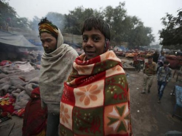
Cold wave and cold day conditions are predicted to wallop parts of Delhi on New Years eve and the winter chill would intensify further in early January, the India Meteorological Department IMD has said.
- Country:
- India
Cold wave and cold day conditions are predicted to wallop parts of Delhi on New Year's eve and the winter chill would intensify further in early January, the India Meteorological Department (IMD) has said. Cold conditions have abated in north India, including Delhi, for now under the influence of a western disturbance, characterised by warm moist winds from the Middle East. However, the minimum temperature will start dropping again from December 31, meteorologists said.
The mercury will drop to 6 degrees Celsius on Saturday and further to 4 degrees Celsius by Monday (January 2). Dense fog and cold wave conditions are predicted in parts of Delhi from January 1 to 4, the IMD forecast. On Thursday, the Safdarjung observatory, Delhi's primary weather station, recorded a minimum temperature of 7 degrees Celsius against 6.3 degrees Celsius on Wednesday, 5.6 degrees on Tuesday and 5 degrees on Monday.
The maximum temperature settled at 23.7 degrees Celsius, three notches above normal.
Fourteen trains to Delhi were delayed due to dense to very dense fog in other areas, a Railways spokesperson said. Weather experts said frigid north-westerly winds and reduced sunshine due to foggy weather had caused the spell of cold wave and below-normal day temperatures in northwest India.
A western disturbance led to a fresh spell of snowfall in the mountains on December 25-26 and cold northwesterly winds swept through the plains after its retreat.
A similar phenomenon involving a fresh WD will lead to intense chill in early January, they said. A cold day is when the minimum temperature is less than or equal to 10 degrees Celsius below normal and the maximum temperature is at least 4.5 degrees below normal. A severe cold day is when the maximum is 6.5 degrees or more below normal.
According to the IMD, 'very dense' fog is when visibility is between 0 and 50 metres, 51 and 200 metres is 'dense', 201 and 500 'moderate', and 501 and 1,000 'shallow'.
In the plains, the Met office declares a cold wave if the minimum temperature dips to four degrees Celsius or when the minimum temperature is 10 degrees Celsius or below and is 4.5 notches below normal.
A severe cold wave is when the minimum temperature dips to two degrees Celsius or the departure from normal is more than 6.4 degrees Celsius.
(This story has not been edited by Devdiscourse staff and is auto-generated from a syndicated feed.)
- READ MORE ON:
- Safdarjung
- Railways
- Delhi
- India
- New Year's eve
ALSO READ
Indian Railways Fare Calculation: A Trade Secret Under RTI Act
Trade Secrets on Track: Indian Railways' Fare Calculation Controversy
Russian Railways Faces Economic Setback with Decline in Cargo Volumes
Railways Bolster Safety with Barriers Against Unauthorized Access
Railways on Track to Viksit Bharat: Minister Ashwini Vaishnaw's Vision for Future


