

IAEA Uses Natural Radioactivity to Help Countries Manage Coastal Sediment
Researchers developed and tested portable gamma ray sensors capable of mapping sediment radioactivity in real time along beaches and underwater environments.
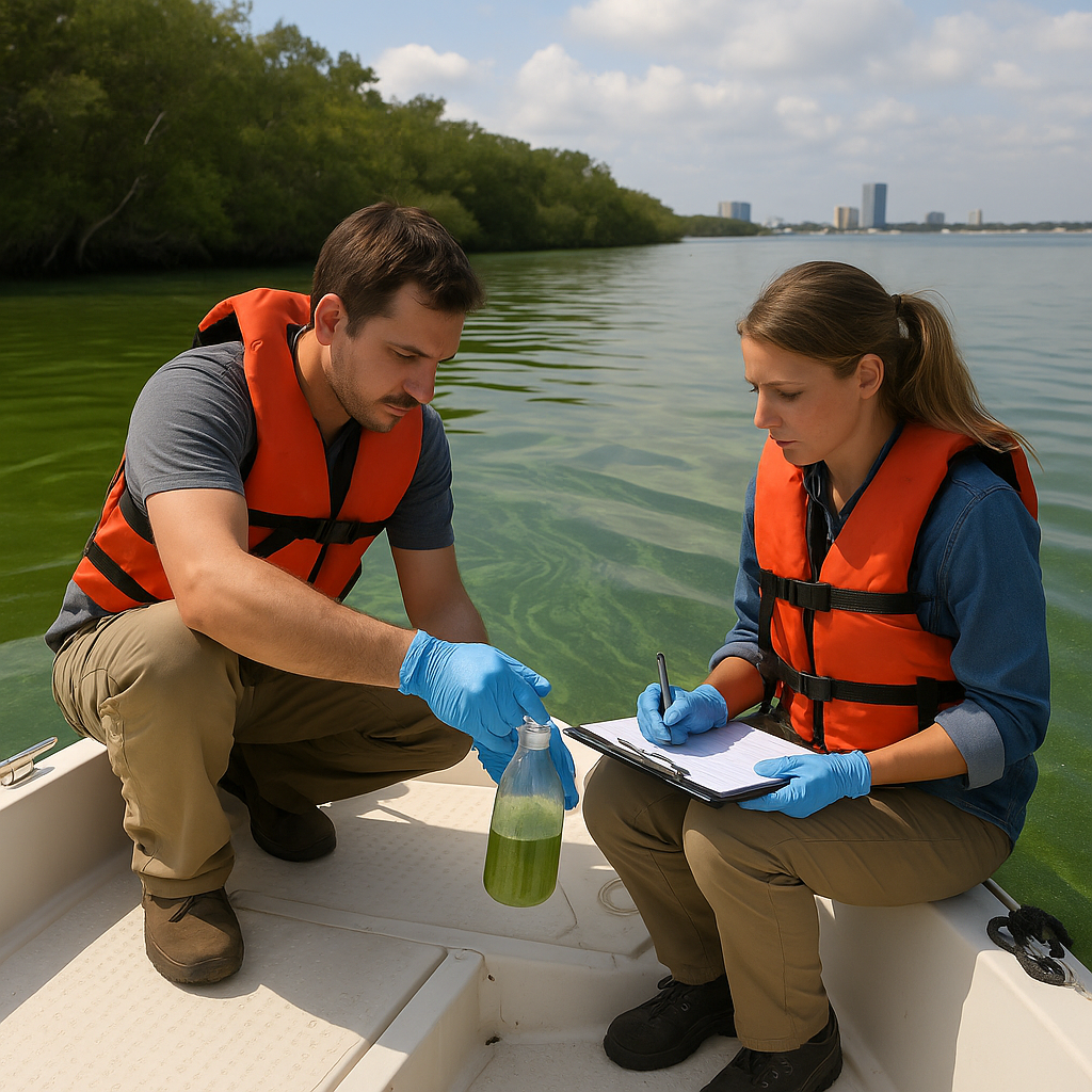
The International Atomic Energy Agency (IAEA) is helping countries worldwide improve coastal management through a novel approach that harnesses the natural radioactivity present in sediments. Coastal regions face growing environmental challenges from shoreline erosion, sediment transport, and deposition patterns, which threaten ecosystems, infrastructure, and local economies. Traditional methods to track sediment movement often rely on artificial radiotracers, which are increasingly restricted due to regulatory concerns. By using naturally occurring radionuclides, scientists can monitor sediment dynamics without introducing additional materials, offering a safer, more sustainable alternative.
Persistent coastal erosion results in long-term shoreline retreat and the gradual loss of beaches, which can negatively affect tourism, fisheries, and local communities that depend on coastal resources. During harbour maintenance, dredged sediments are sometimes disposed of at unsuitable sites. This can cause the material to return to navigation channels, reducing the effectiveness of dredging and increasing maintenance costs. Accurate understanding of sediment movement is crucial to mitigating these impacts, improving coastal planning, and reducing financial and environmental burdens.
Mapping Sediment Using Natural Radioactivity
The IAEA launched a Coordinated Research Project (CRP) in 2021 called Development of Radiometric Methods and Modelling for Measurement of Sediment Transport in Coastal Systems and Rivers (F22074). The initiative brought together researchers from 14 countries, including Brazil, Canada, Egypt, Ghana, Greece, India, Kenya, Malaysia, Morocco, the Netherlands, South Africa, Spain, and Tunisia. The project's goal was to explore non-destructive nuclear techniques to better understand sediment dynamics and provide practical tools for coastal management and harbour operations.
Under the CRP, scientists developed and tested portable underwater and beach gamma ray sensors capable of real-time in situ mapping of sediment radioactivity. The sensors were deployed in diverse environments across participating countries, demonstrating the feasibility of tracing sediment movement using natural radionuclides. This method allows researchers to identify sediment sources, monitor transport processes, and understand deposition patterns with high precision and without introducing artificial materials into sensitive ecosystems.
Geostatistical tools were also employed to enhance the analysis and interpretation of spatial mapping data. These tools enable scientists to create accurate visualisations of sediment erosion and deposition across large coastal areas. The spatial distribution of natural radionuclides can provide insight into sediment characteristics, including grain size distribution and heavy mineral content, offering valuable data to inform engineering and environmental management decisions.
Complementing the field measurements, researchers developed computational fluid dynamics models and numerical simulations of sediment transport. A Monte Carlo simulation model was introduced to optimise the quantity of naturally radioactive black sand used in tracer applications. This approach ensured scientific precision while maintaining environmental responsibility, allowing countries to gain actionable insights into sediment dynamics without additional ecological risks.
The CRP also generated significant academic output, with results published in 40 peer-reviewed articles, presented in 50 conference proceedings, and forming the basis of six PhD and Master's theses. This reflects the growing interest and confidence in using natural radioactivity for sediment monitoring and the broader scientific validation of the approach.
Operational Benefits for Coastal Erosion and Harbour Management
Monitoring natural radioactivity in coastal sediments provides strong operational value for addressing erosion and improving dredging efficiency. By identifying sediment transport pathways and rates, coastal managers can make informed decisions on beach nourishment, sediment disposal, and dredging schedules. This reduces unnecessary interventions, saves resources, and enhances the sustainability of coastal infrastructure projects.
Celina Horak, Head of the IAEA Radiochemistry and Radiation Technology Section, emphasised the practical impact of the research: "What our researchers demonstrated can be a game changer in some countries. By simply monitoring naturally occurring radioactivity, without the need for additional sources or regulatory approvals, countries can gain actionable insights to better manage their coastlines, reduce costs, and support evidence-based coastal planning."
The approach also offers environmental benefits. Unlike artificial radiotracers, natural radionuclides do not introduce foreign materials into ecosystems. This makes the method more acceptable to regulators and environmentally conscious stakeholders, while still providing high-resolution data on sediment movement. The ability to repeatedly measure the same locations over time allows researchers to capture temporal variability, giving a more complete understanding of sediment dynamics and erosion processes.
Integrating Research Into Practical Coastal Planning
The CRP's findings show that maps of radionuclide concentrations can serve as proxies for sediment properties, including particle size distribution and heavy mineral content. While these maps alone do not fully reveal sediment transport mechanisms, repeated monitoring can provide the dynamic information needed to link spatial patterns with actual movement and deposition processes. This creates a bridge between scientific research and operational decision-making.
The IAEA plans a follow-up project focusing on practical applications and direct involvement of end users, including coastal modellers, environmental managers, and government authorities. This step is intended to ensure that the research translates into actionable decision-support tools that can guide sustainable coastal management, reduce maintenance costs, and enhance environmental protection.
The CRP's methodology has demonstrated flexibility and applicability across a wide range of coastal environments. Countries can now develop tailored strategies for sediment management using natural radioactivity data, improving harbour operations, protecting vulnerable ecosystems, and increasing resilience against climate-induced coastal changes.
The project also reinforces international collaboration in coastal management science. By sharing methodologies, sensor technologies, and modelling approaches, participating countries have established a global network of expertise that can be leveraged for training, capacity building, and ongoing research into sediment dynamics. The practical deployment of gamma ray sensors and integration with computational models represents a significant technological advancement in the field of coastal engineering.
Natural radionuclide monitoring also opens new possibilities for understanding how sediment interacts with chemical contaminants, nutrient transport, and habitat formation. By tracking sediment movement accurately, policymakers can design better interventions for pollution control, habitat restoration, and marine ecosystem protection, creating long-term benefits for both human communities and biodiversity.
In addition to the scientific and operational advantages, the CRP has proven to be a platform for education and training. The hands-on involvement of students, early-career scientists, and technicians in deploying sensors, analysing data, and developing models provides vital experience that strengthens the next generation of coastal researchers and engineers.
The IAEA emphasises that the value of natural radioactivity mapping extends beyond research; it offers a practical, scalable, and regulatory-friendly tool for countries facing sediment-related challenges. Coastal and harbour authorities can adopt these methods to enhance resilience, inform policy, and ensure sustainable use of marine and coastal resources.
The CRP demonstrates how nuclear science, when applied responsibly, can provide solutions to complex environmental problems. By combining in situ monitoring, geostatistical analysis, and numerical modelling, countries gain a comprehensive understanding of sediment dynamics that supports economic efficiency, environmental protection, and climate adaptation.
ALSO READ
-
Inside Russia’s SMR School, Where Nuclear Experience Shapes Future Energy Decisions
-
14 Women Build Nuclear Expertise and Leadership Through IAEA Programme in Russia
-
How Nuclear Science Can Keep Food Fresh and Cut Waste Costing Billions
-
Nuclear Science Brings Cancer Care, Safer Food and Better Water Data Across Regions
-
From Cancer Care to Nuclear Careers, IAEA Conference Puts Global Progress in Focus


 Google News